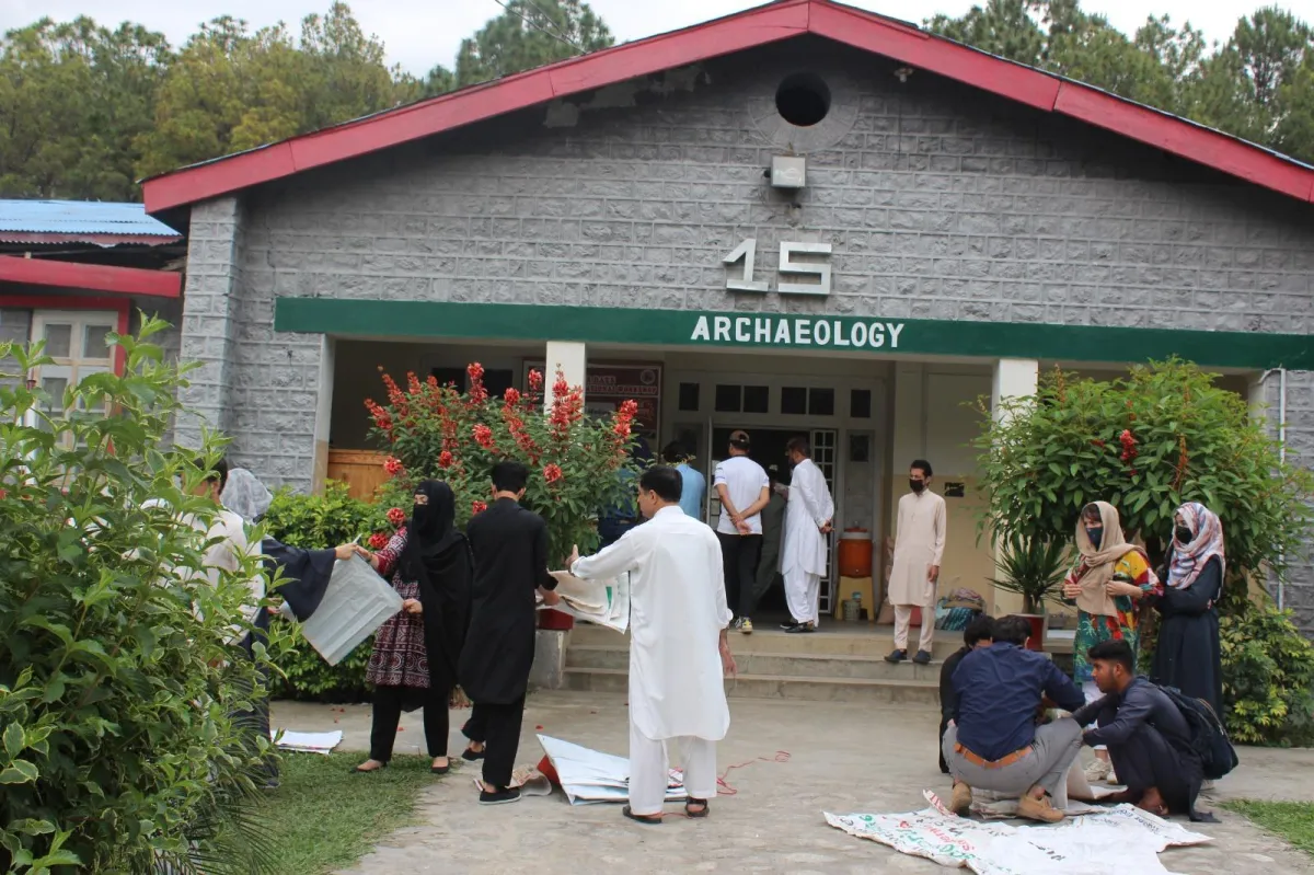
Department of Archaeology

PUAN Project Under The United States Educational Foundation in Pakistan

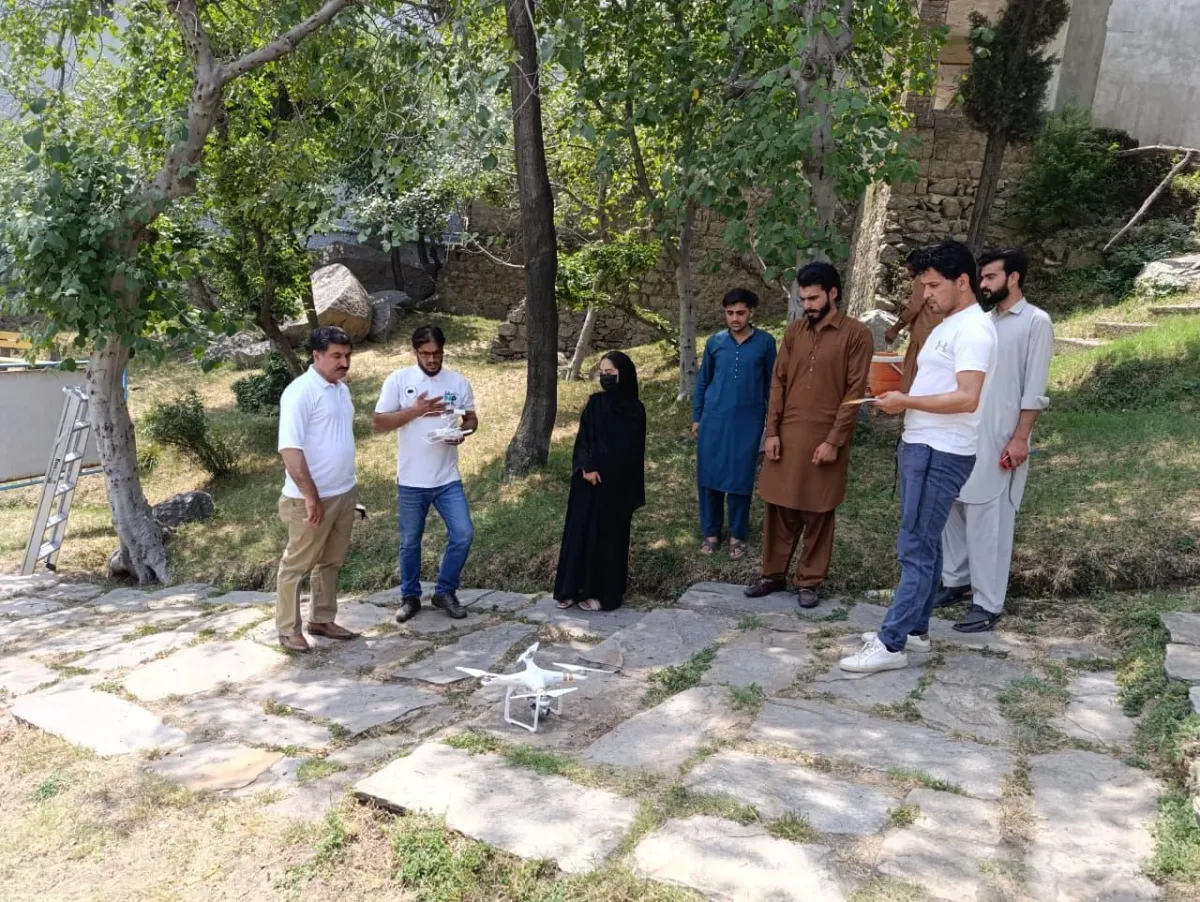
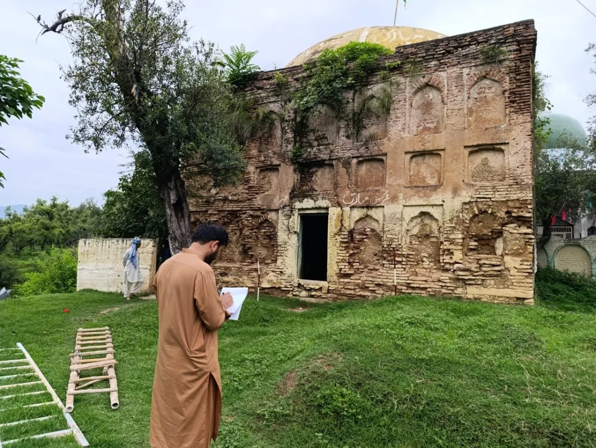
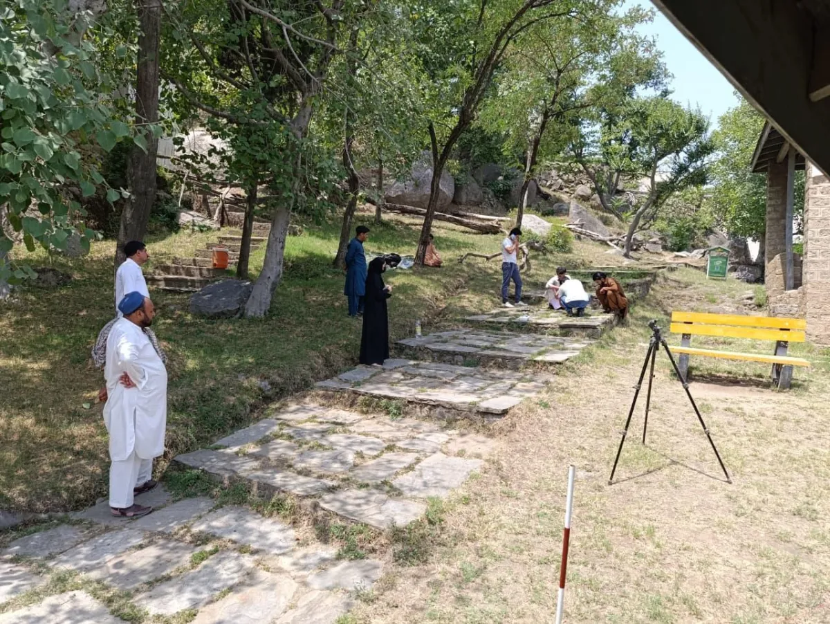
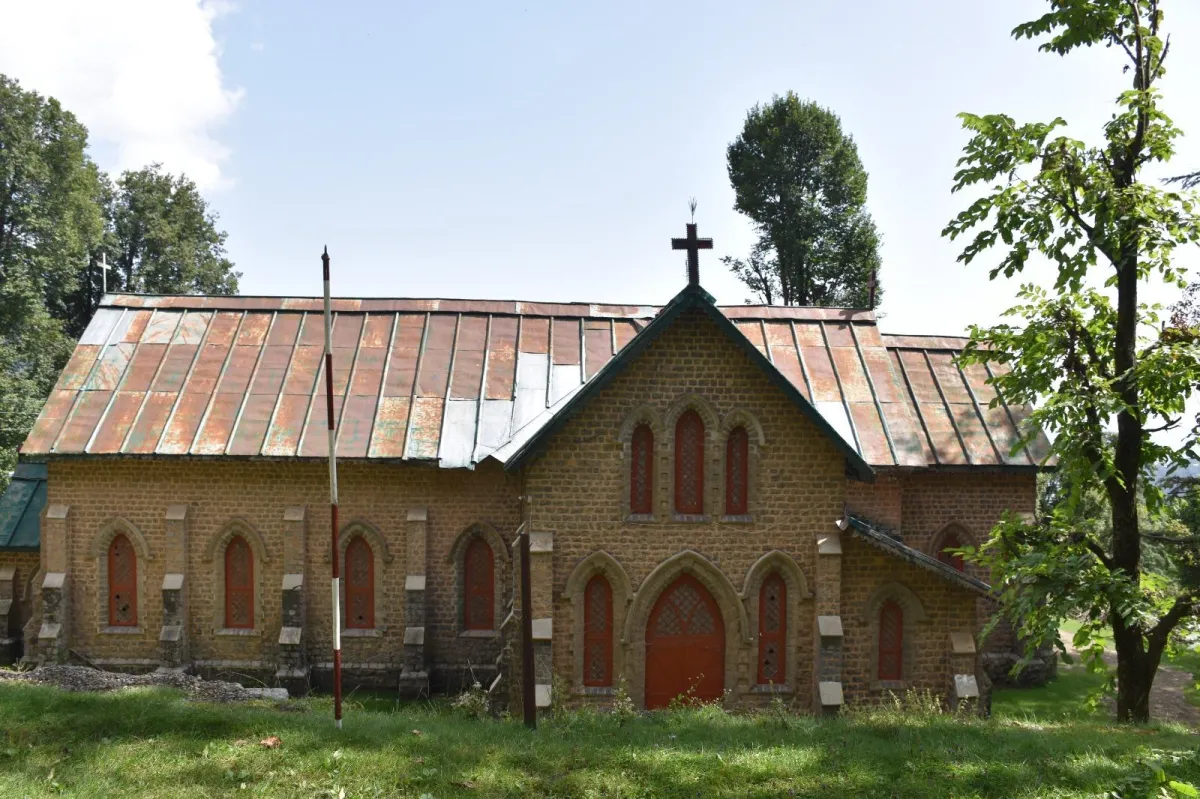
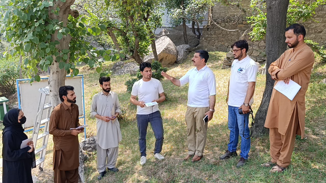
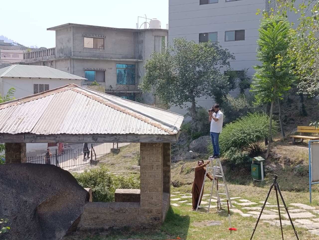
This project is designed to preserve and showcase some of District Mansehra’s most valuable heritage sites the Ashoka Rock Edicts, the Tomb of Sultan Mahmud Khurd, and the Naukot Fortress through the use of modern digital technologies. By applying tools such as 3D scanning, photogrammetry, GIS mapping, and digital archiving, the initiative seeks to safeguard these monuments from ongoing threats like environmental damage, urbanization, and neglect. At the same time, it will make them more accessible for education, research, and public engagement, while also training local students and professionals in advanced methods of heritage documentation.
Project Summary
The project focuses on the digital preservation and documentation of three key heritage sites in District Mansehra:
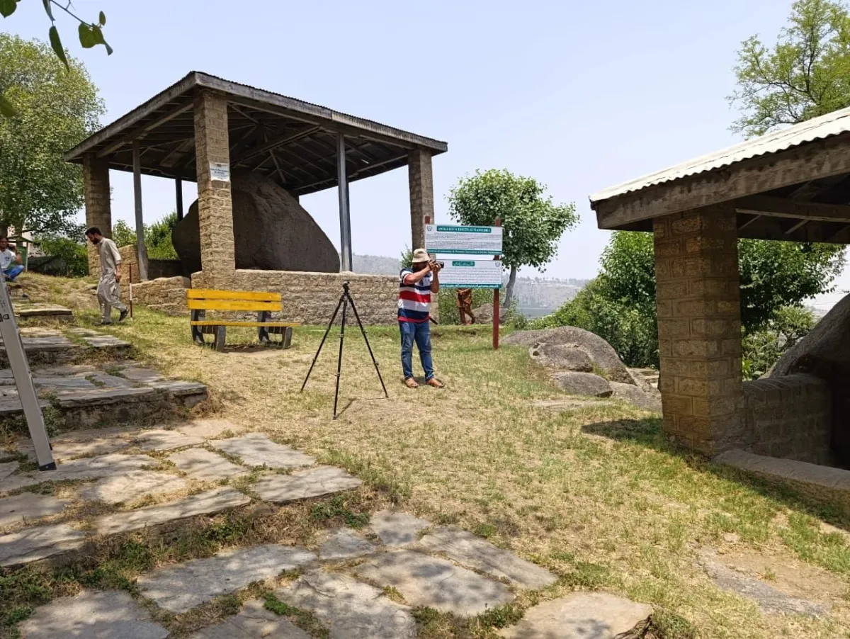
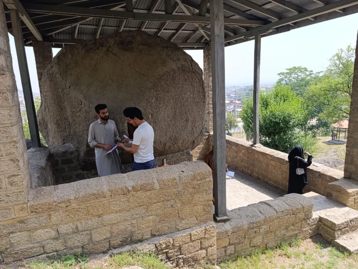
Ashoka Rock Edicts (3rd century BCE)
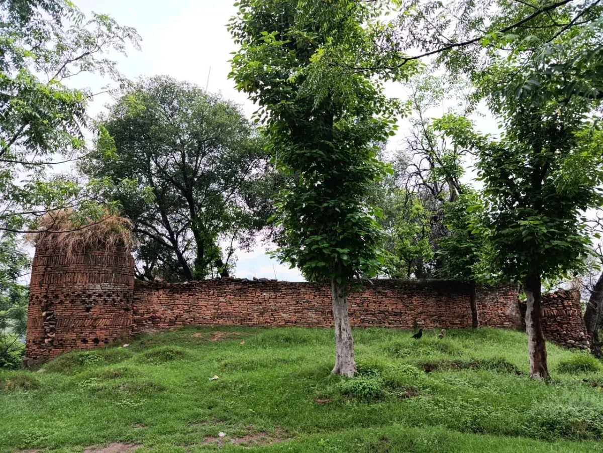
Naukot Fortress (12th century CE)
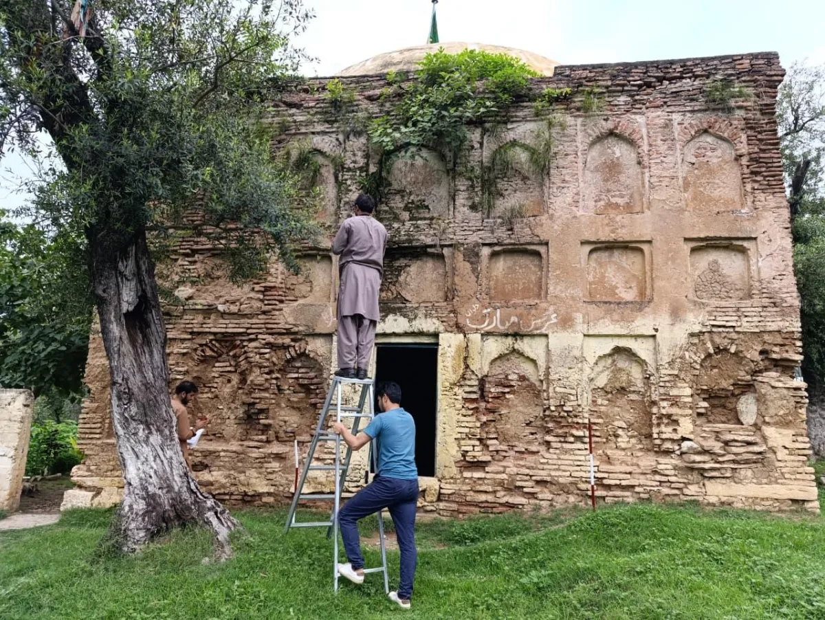
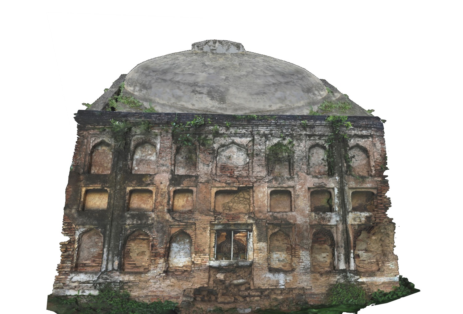
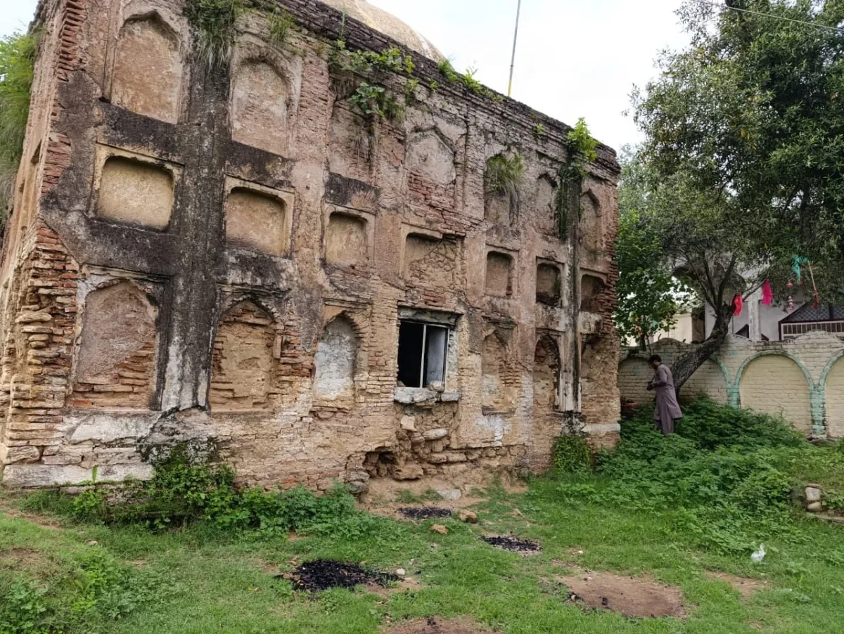
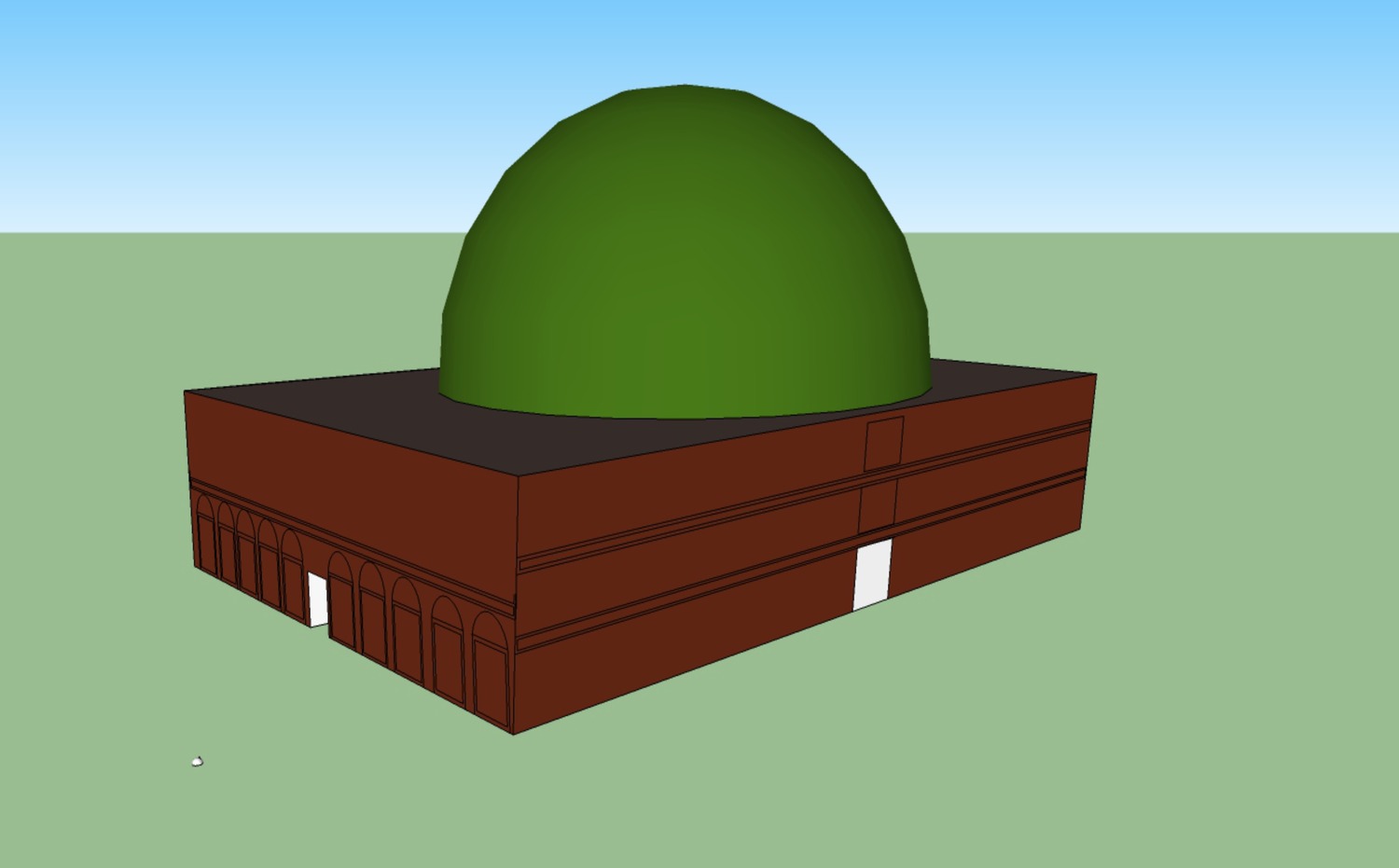
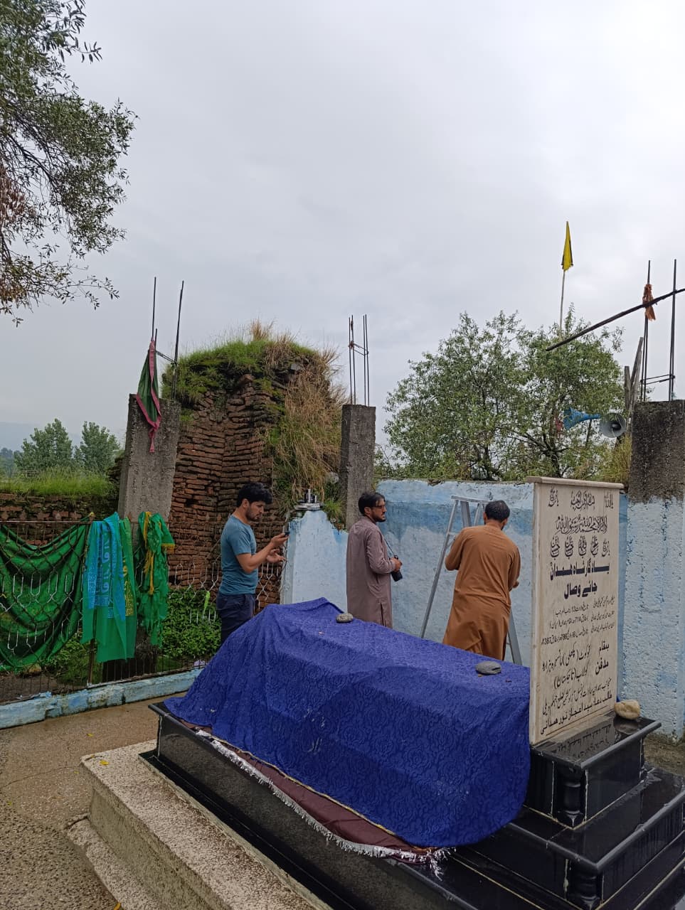
Tomb of Sultan Mahmud Khurd (17th century CE)
It will apply emerging technologies like 3D scanning, photogrammetry, GIS, and digital archiving to record, conserve, and create interactive virtual models of these sites.
Objectives
Digitally document and preserve the sites through high-resolution imaging and modeling.
Develop a GIS-based heritage map and open-access digital archive.
Create educational resources, VR/AR experiences, and awareness campaigns to engage the public.
Train local students and professionals in digital heritage documentation.
Implementation & Timeline
Duration: 24 weeks (June to November 2025).
Phases: Site surveys, data collection, 3D modeling, GIS integration, archive creation, and public outreach workshops.
Support & Funding
The project is supported under the PUAN Grants Program 2025, with funding allocated to research activities, documentation, training workshops, and outreach efforts .
This initiative aims to safeguard endangered archaeological sites in Mansehra by combining modern digital tools with community engagement and capacity building, ensuring long-term conservation and accessibility for research, education, and tourism.
Outcomes
Comprehensive Survey Report
A detailed survey report documenting the current condition of heritage sites across the region. This includes architectural assessments, structural mapping, environmental observations, and risk factors affecting long-term preservation.
The survey provides an evidence-based foundation for future conservation planning and policy decisions.

Digital Archive with 3D Models, GIS Data & Photographs
A fully developed digital archive containing high-resolution images, 3D models, GIS layers, and field documentation.
This archive preserves valuable data for researchers, heritage professionals, and institutions, ensuring open and long-term access to authentic information on the region’s cultural assets.


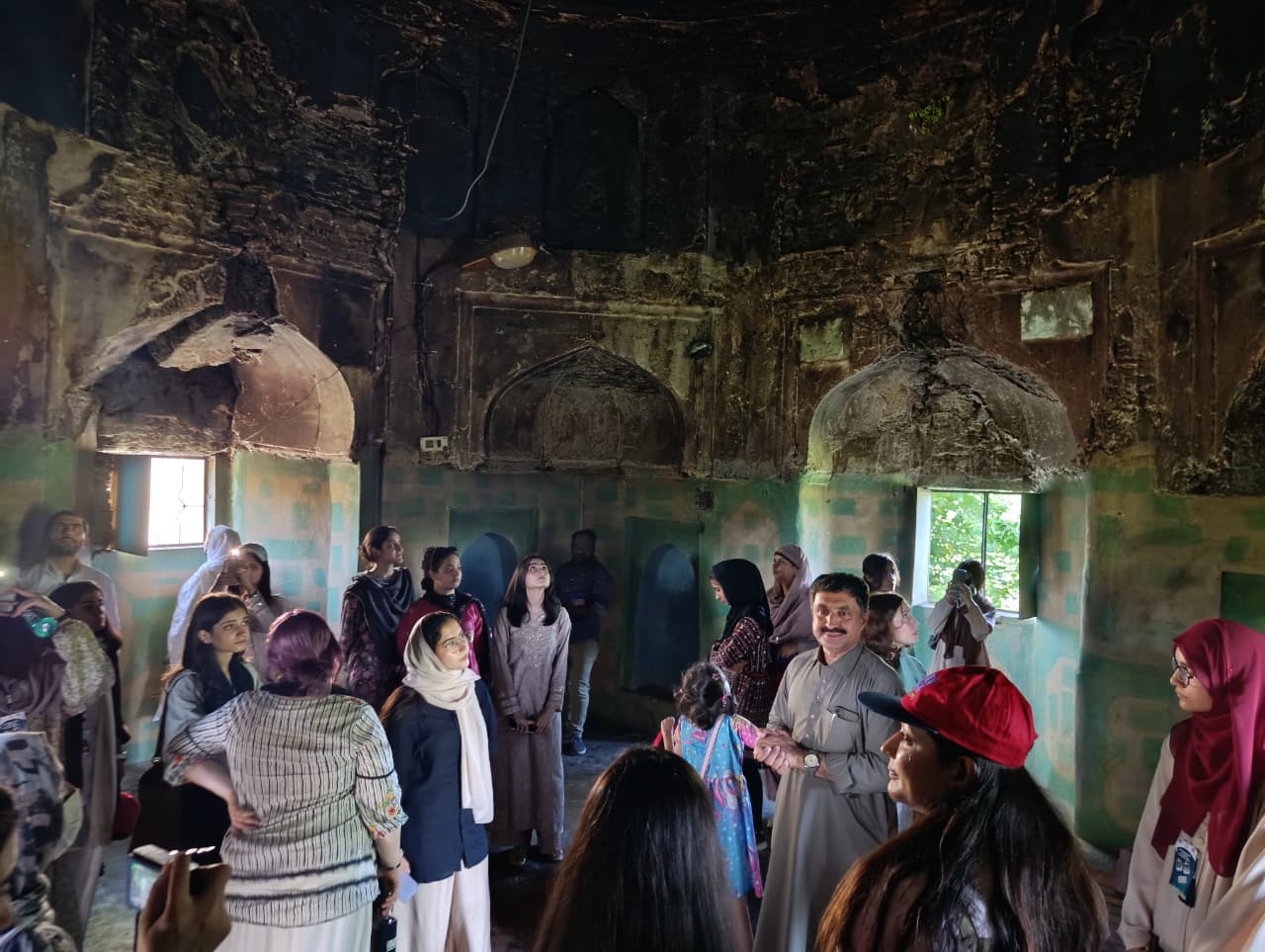
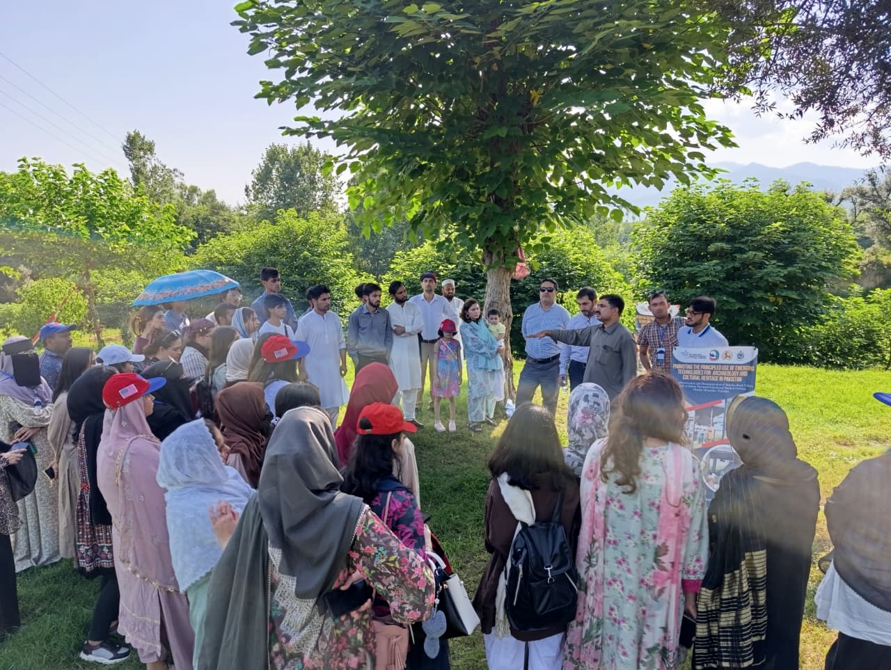
Increased Public Awareness & Community Participation
Through workshops, seminars, field demonstrations, and community outreach activities, the project successfully enhanced public understanding of cultural heritage.
Local communities, students, and stakeholders are now more actively engaged in safeguarding historical sites and contributing to sustainable heritage practices.


Capacity Building for Heritage Professionals & Students
Specialized training sessions equipped heritage professionals, students, and volunteers with practical skills in documentation, GIS mapping, 3D modelling, and conservation principles.
This capacity-building approach strengthens the long-term preservation ecosystem and empowers the next generation of heritage custodians.

Project Documentary
A professionally produced project documentary was developed to capture the full journey of the heritage digitization initiative. The documentary documents fieldwork activities, community engagement sessions, training workshops, and the technological workflows used in data collection and preservation. It serves as a visual record of the project’s methodology, impact, and long-term contribution to cultural heritage conservation.
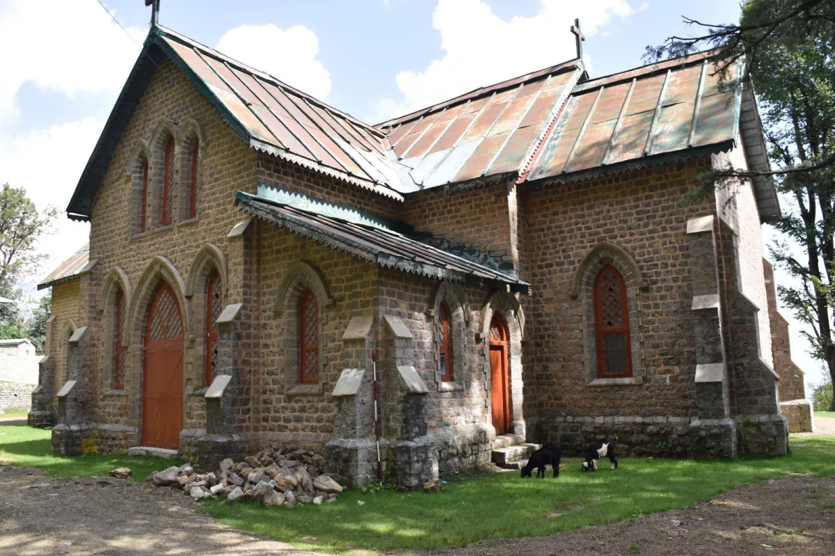
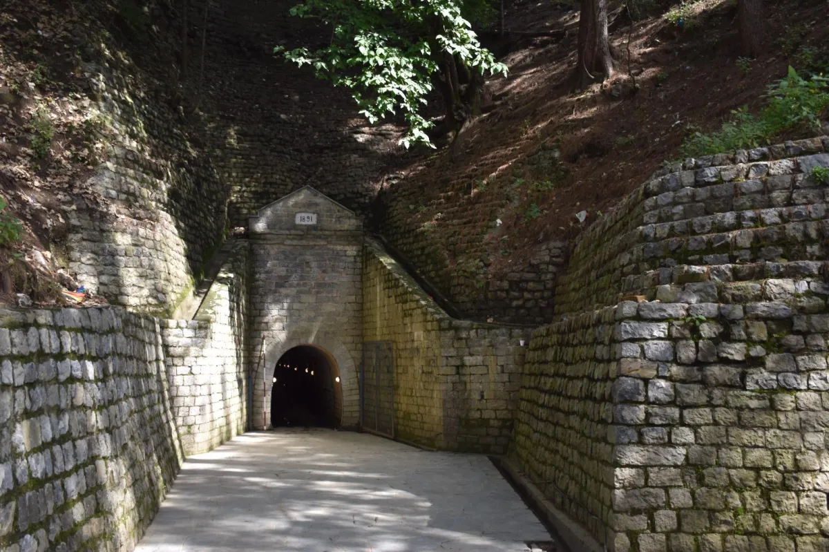
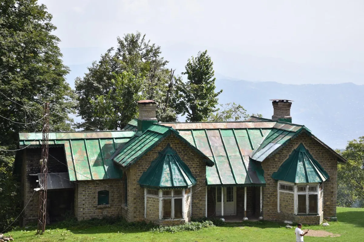
Image Gallery